PROPAGANDA MAP INSPIRATION
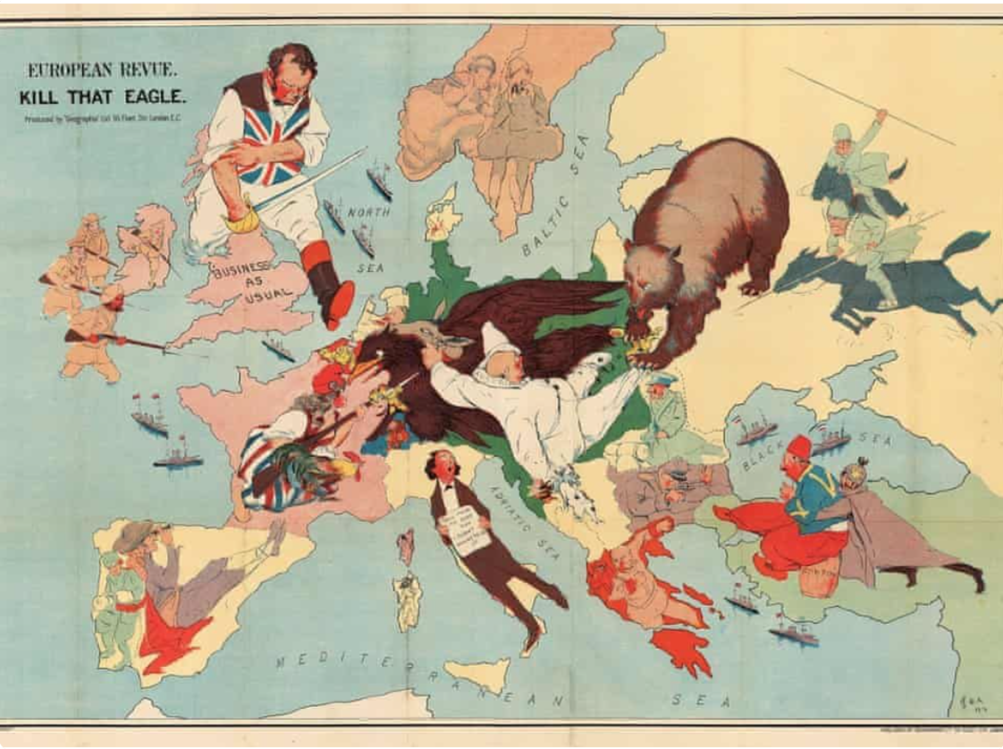
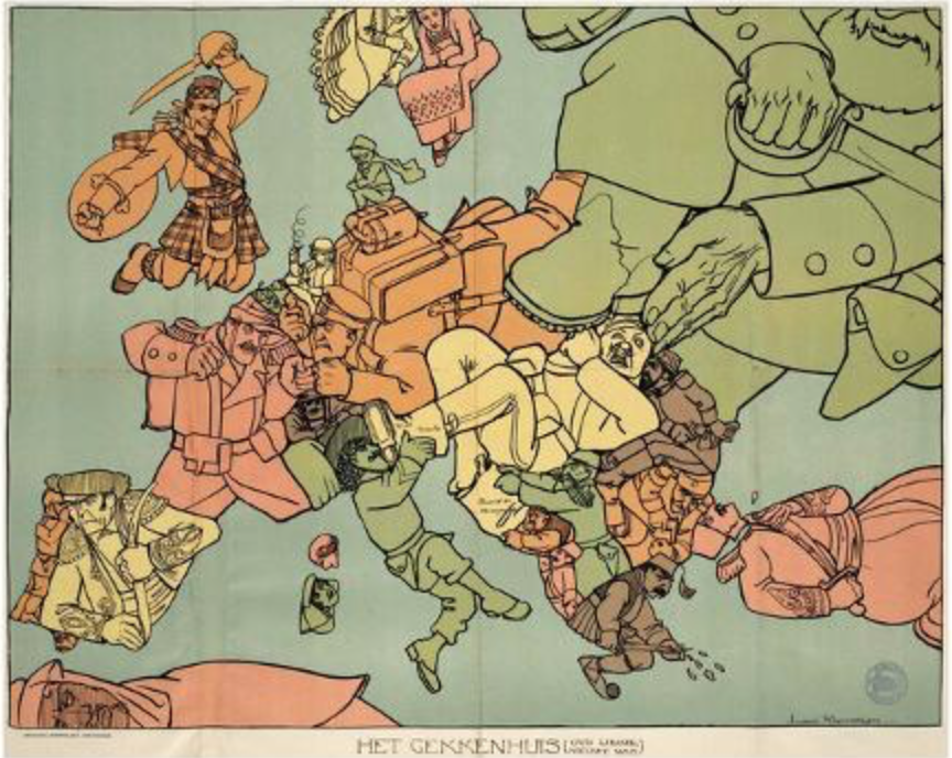
- cartographic propaganda is a map created with the goal of achieving a result similar to traditional propaganda. the map can be outright falsified or created using subjectivity with the goal of persuasion.
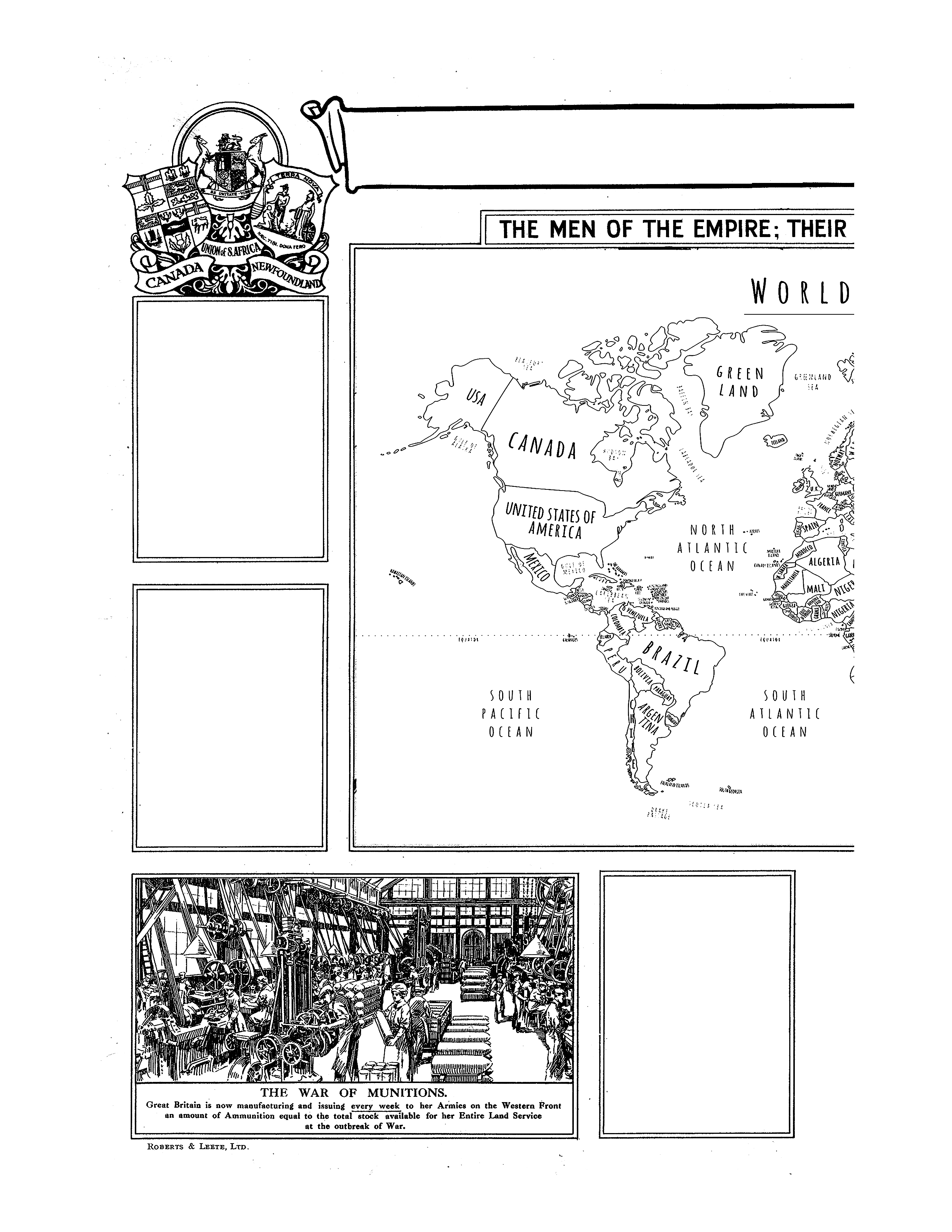
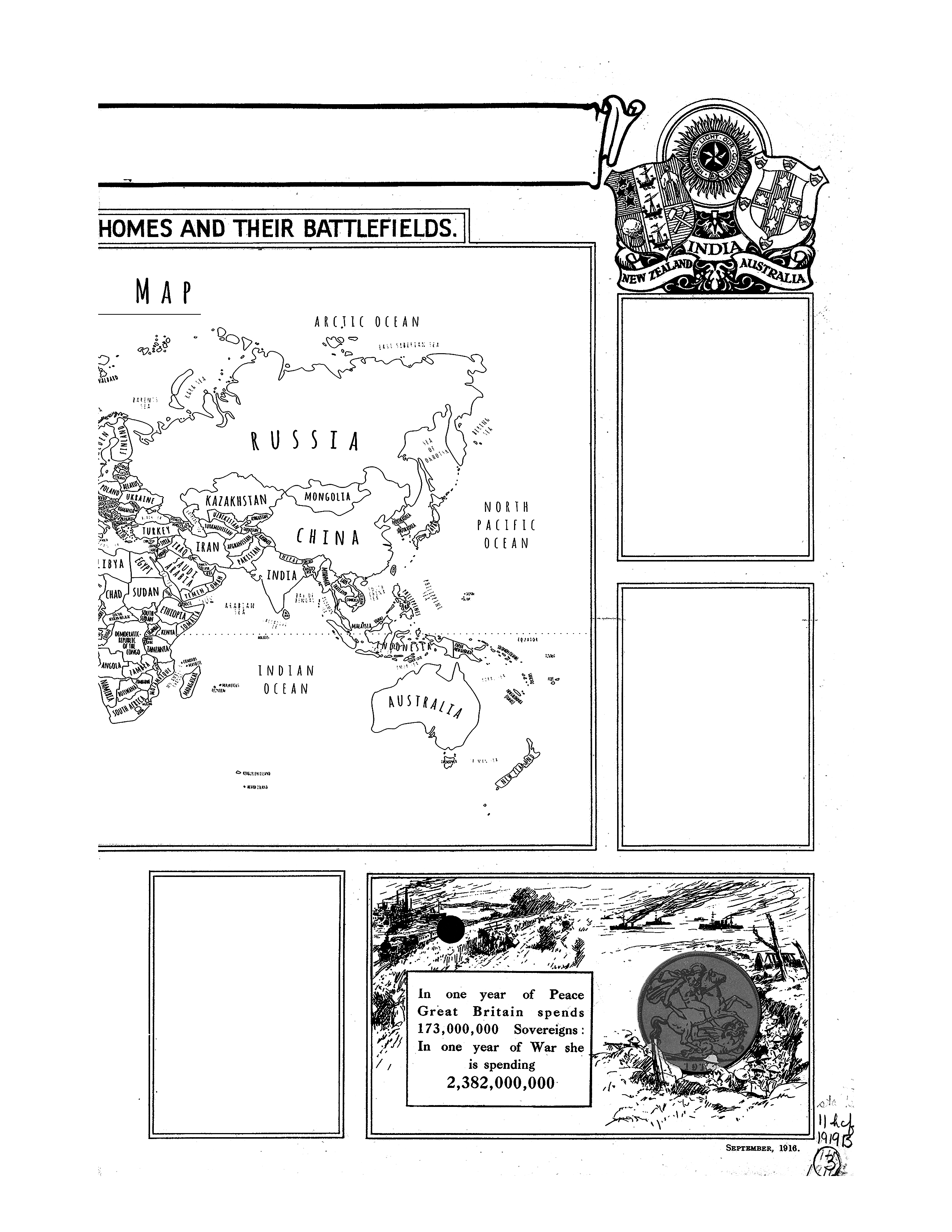
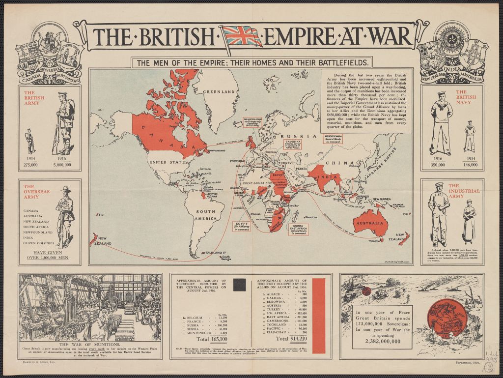
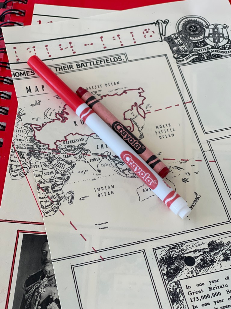
- british empire at war map description: includes a map surrounded by illustrations and figures showing the increase in the size of the british army and navy between 1914 and 1916, contributions of the “overseas army,” changes in the “industrial army” and the “war of munitions” and the approximate amount of territory occupied by the central powers and the allies on august 2nd, 1916. https://digital.library.pitt.edu/islandora/object/pitt:DARMAP0438
OTHER EXAMPLES OF PROPAGANDA MAPS
STEP NO.1
- SEE VIDEO FOR COVER PAGE
step no.2
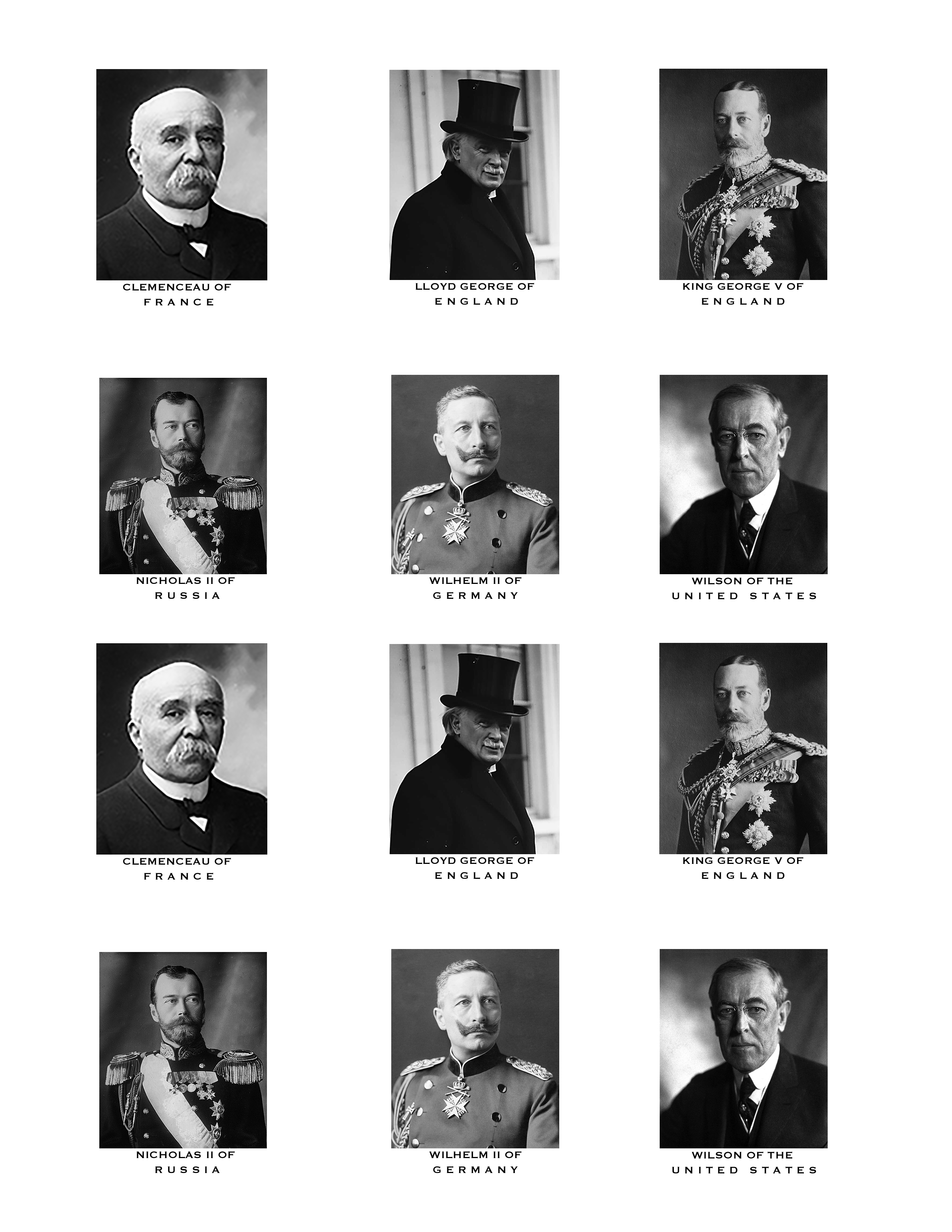
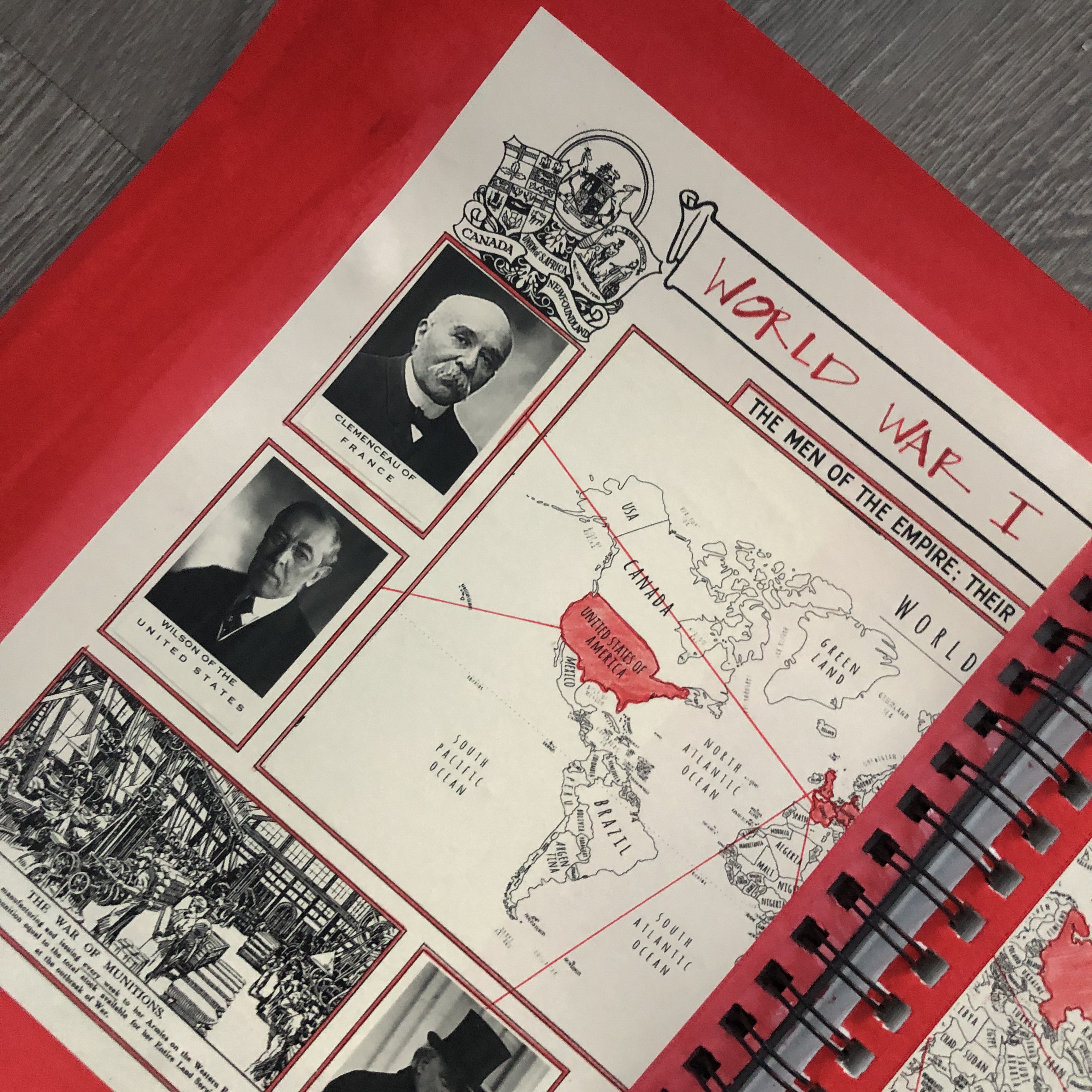
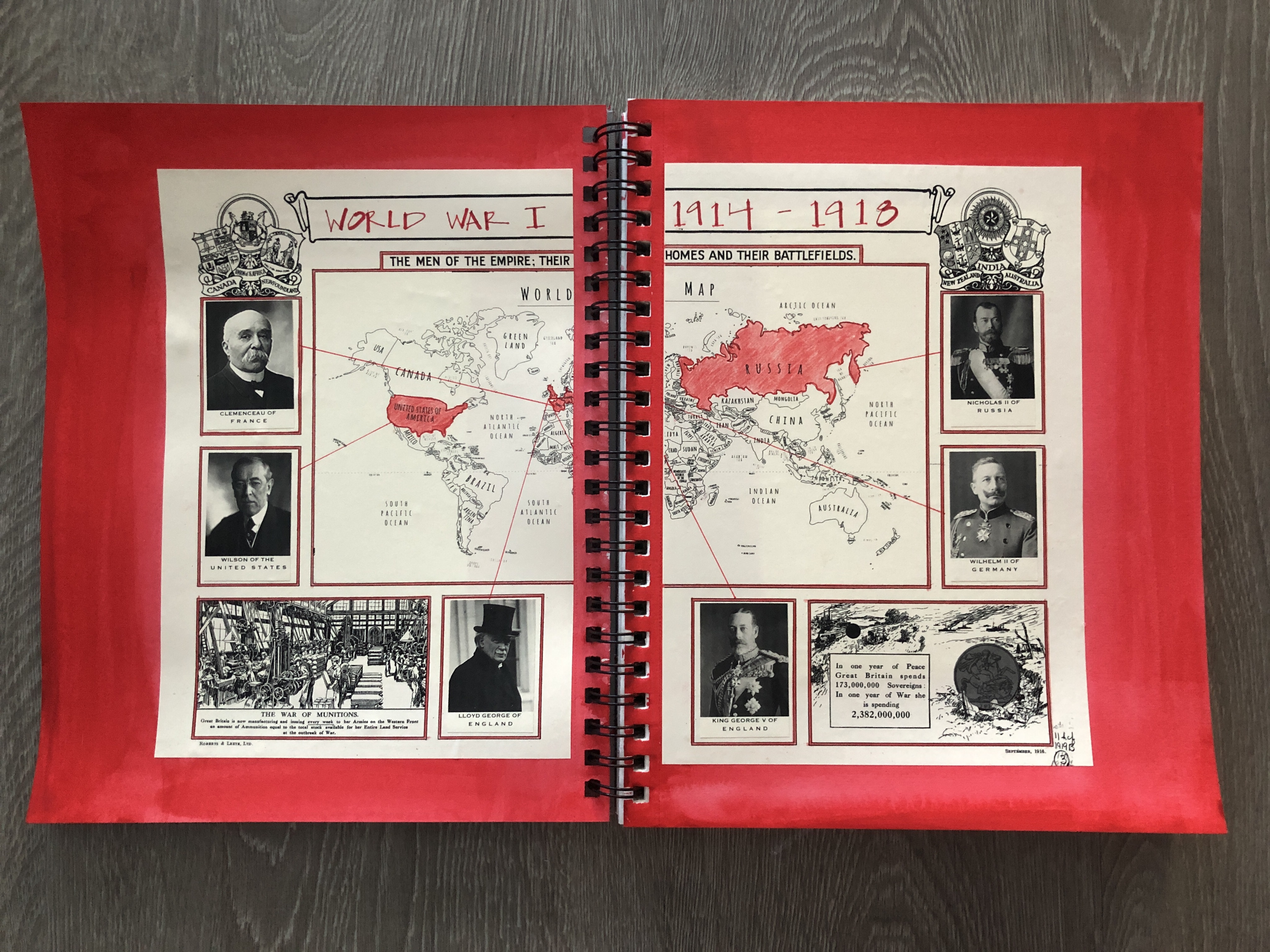
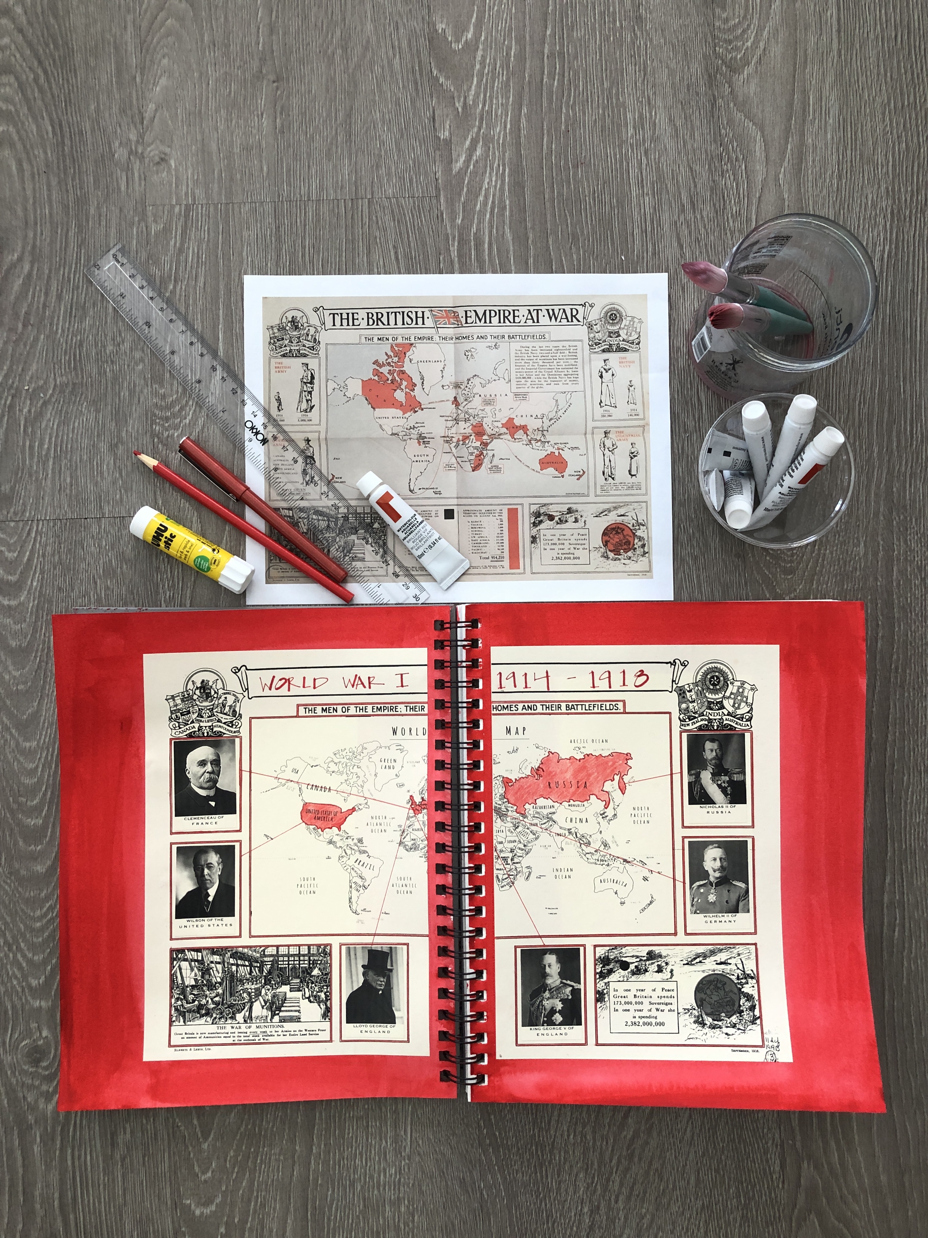
- SEE VIDEO FOR THE WWI LEADERS AND COUNTRIES SKETCHBOOK PAGE INSPIRED BY PROPAGANDA MAPS
- SEE VIDEO FOR THE LITTLES [PRE-K TO 1ST GRADE] SIMPLIFIED SKETCHBOOK PAGE
MAPS + SUPPLIES FOR THE OLDER STUDENT

MAPS + SUPPLIES FOR LITTLES
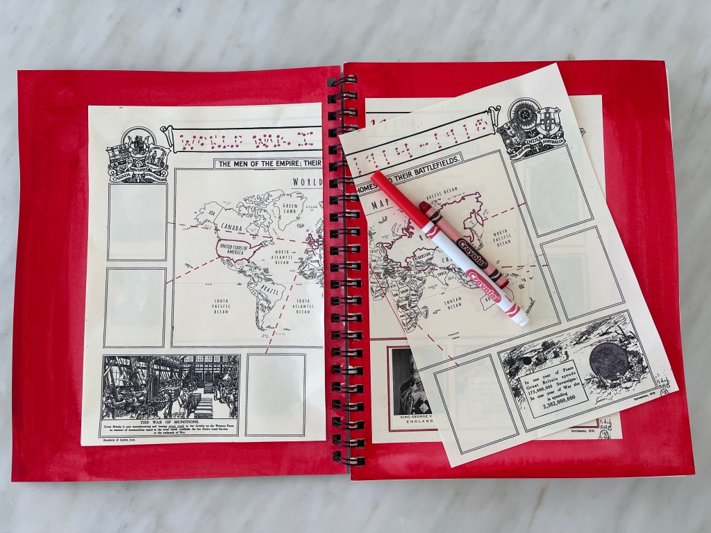
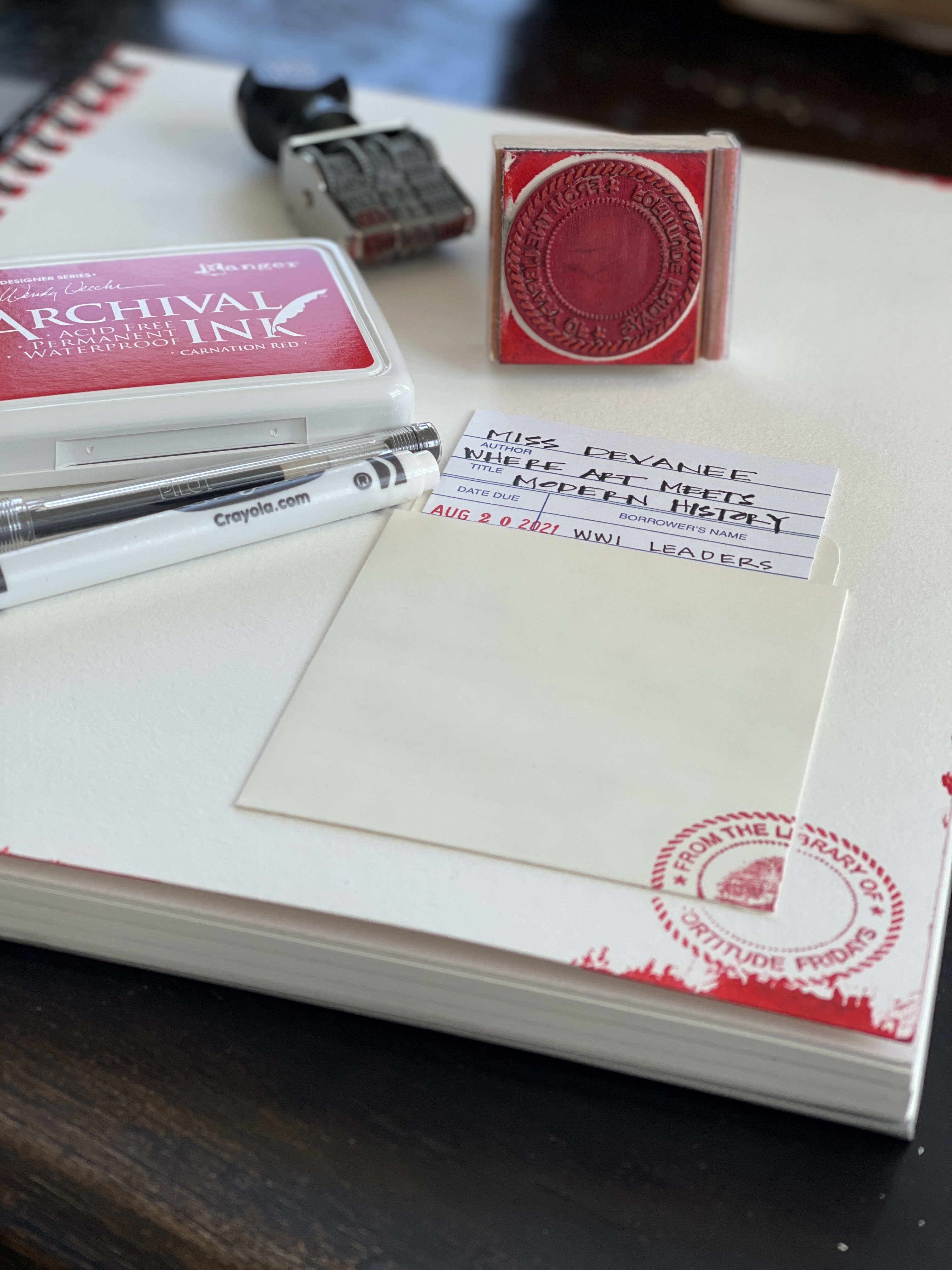
ATTACHED MAPS + LEADERS. PRINT ON IVORY PAPER [I WILL BRING print outs FOR FRIDAY SCHOOL STUDENTS]